Using AI to View Iraqi Conflict
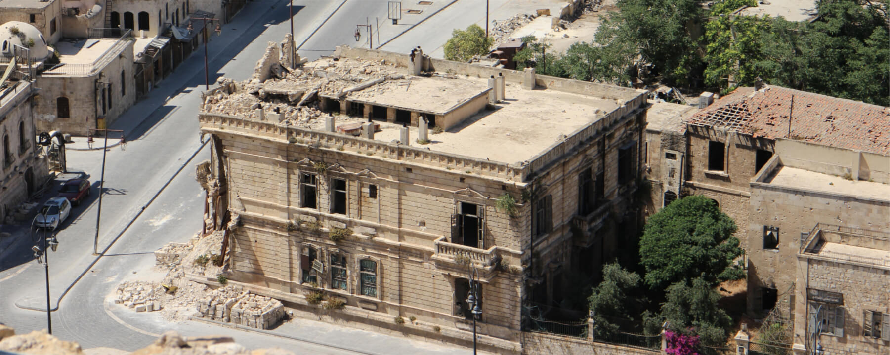
We looked at the city of Tikrit to reveal how useful analytics of satellite imagery is for our clients. In June 2014 members of ISIS clashed with Iraqi forces. Our study reveals how AI detects object within large areas and identifies areas with a higher level of activity. We also monitored vehicle activity and utilized our AI generated algorithms to indicate economic growth after the conflict.
- Apr 2018
- 2 min read
- Defense & Intelligence
Main Areas
- View cars
- Economic activity
- Military insight
Used Algorithms
- Cars
- Urban
- Roads
- Change detection
- Aircraft
Stay light years ahead of the competition.