The world is your dashboard.
SpaceKnow Guardian® is an AI platform for satellite imagery analysis. It detects and classifies objects, measures change over time and monitors areas of interest automatically, on optical and SAR imagery from multiple independent providers.
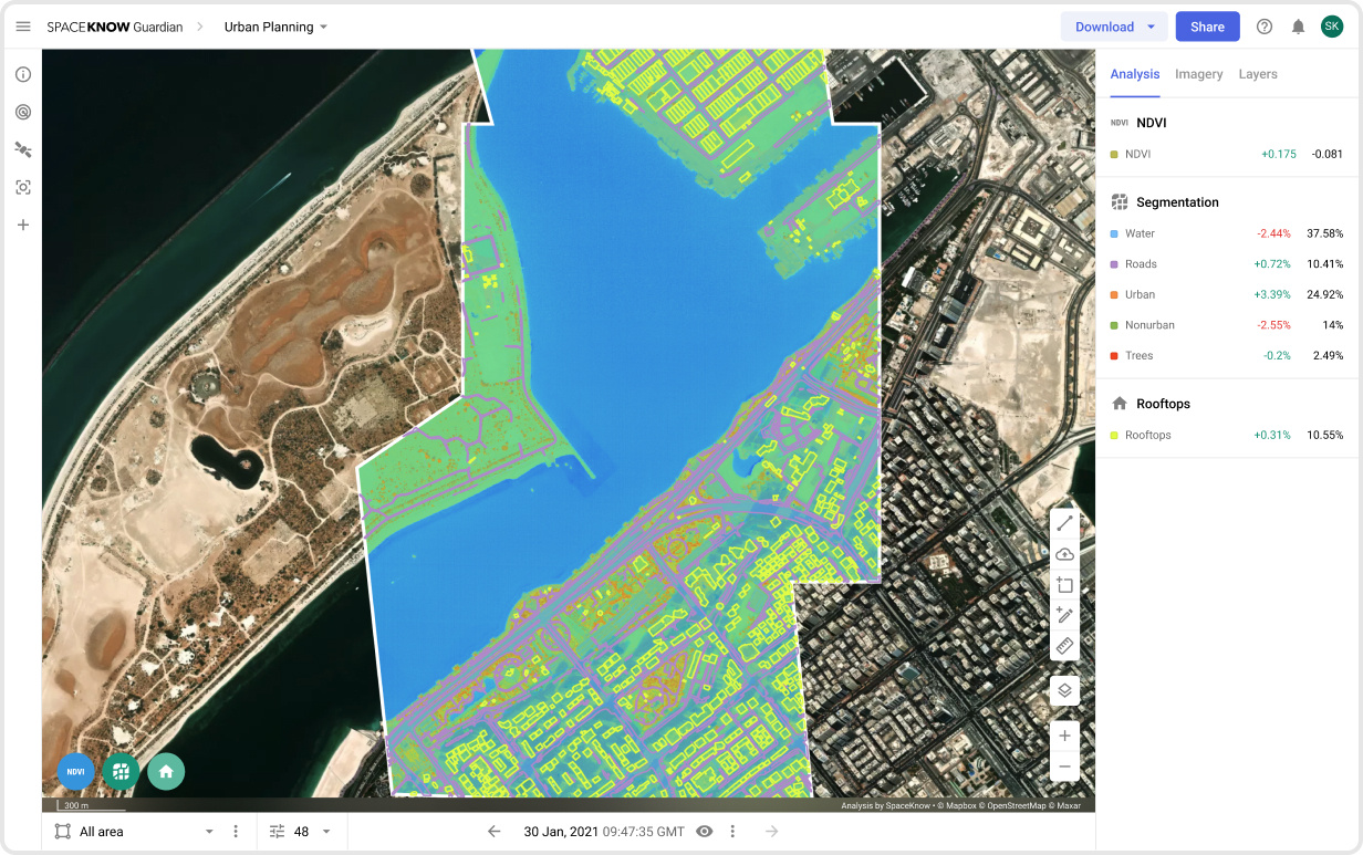

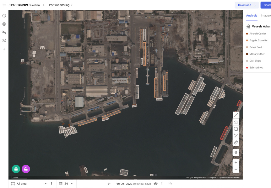
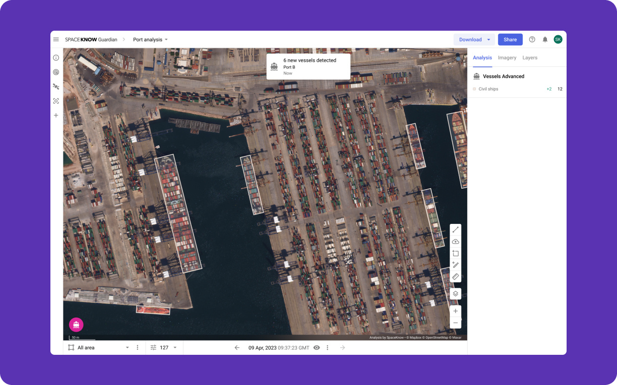
Count aircraft on an airbase, follow traffic in a port or check a construction site from your desk. Guardian analyzes every new image of your areas of interest and shows what changed since the last one.

 Analyze
Detections you can check.
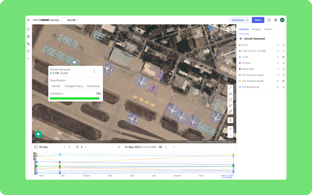
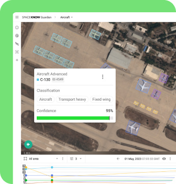
Guardian finds and classifies objects in satellite imagery, down to a specific model where resolution allows. Every result sits on the source image with coordinates and acquisition date, so an analyst can verify it before it goes into a report.
 Monitor
Continuous monitoring at any resolution.
Watching many sites every day for months adds up fast if every image is high resolution. Guardian runs its detection algorithms on widely available mid-resolution imagery, monitors as many areas of interest as the mission requires and flags change as it happens. When a change deserves a closer look, switch to high resolution for that site.
 Scale up
One site or thousands.
Use the same workflow for a single airbase or for thousands of locations worldwide, and add new areas of interest at any time.
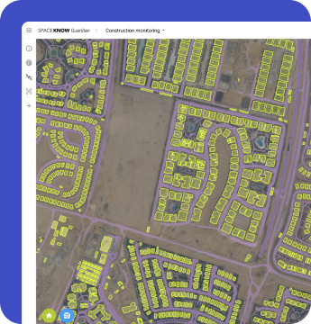
Built for analysts who have to be right.

Over a decade of algorithm development
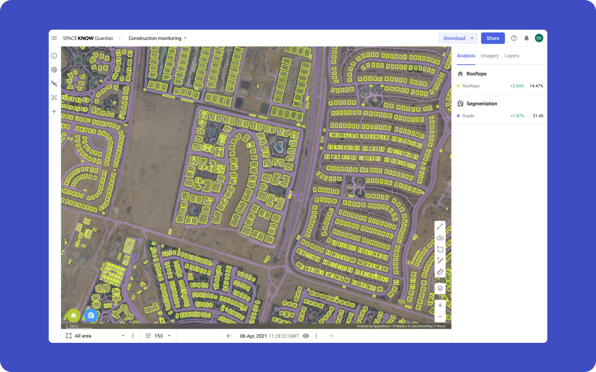
SpaceKnow has built and trained its own detection algorithms since 2013. They now cover object detection and classification, change detection and land segmentation.

Monitoring and alerts
Mark an area and Guardian keeps watch. Your analysts decide what counts as relevant, tune the algorithms and review every alert before it goes further.

Across sensors and resolutions
Guardian works with optical and radar (SAR) imagery from multiple independent providers, from mid resolution down to sub-meter detail. The same algorithms run on all of it, so one timeline can combine radar through cloud with optical imagery for identification.
From a whole region down to a single object.
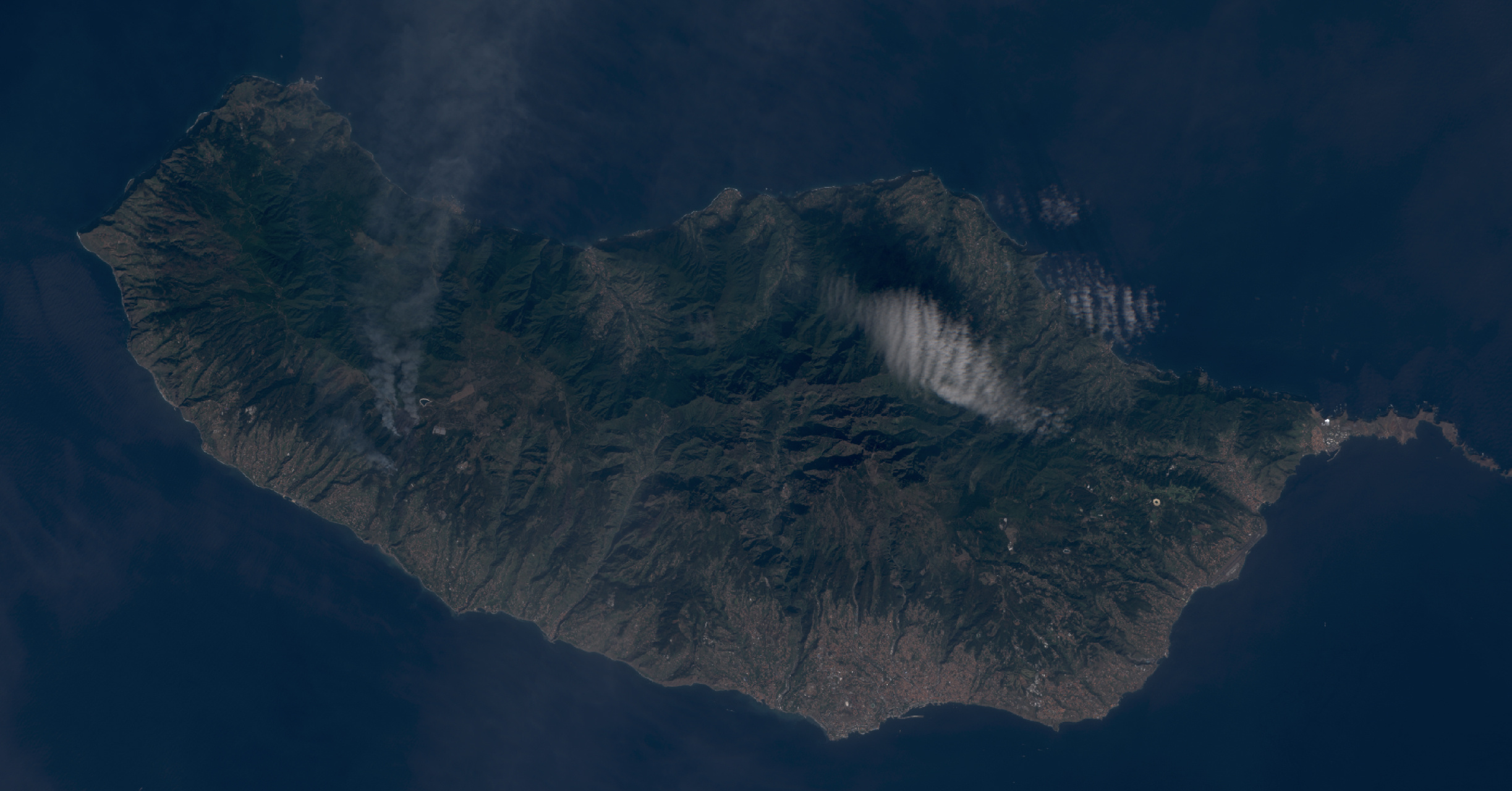
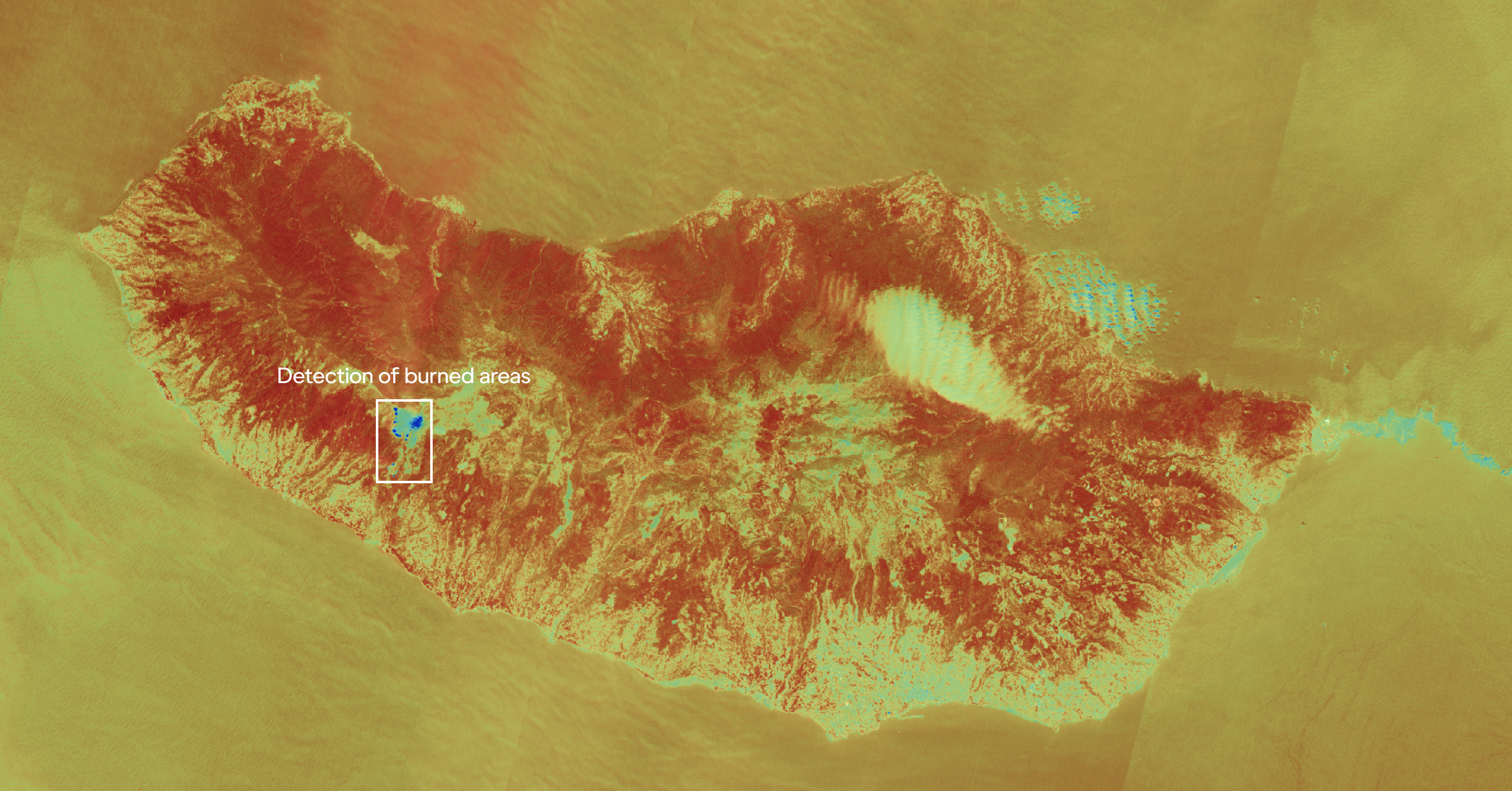
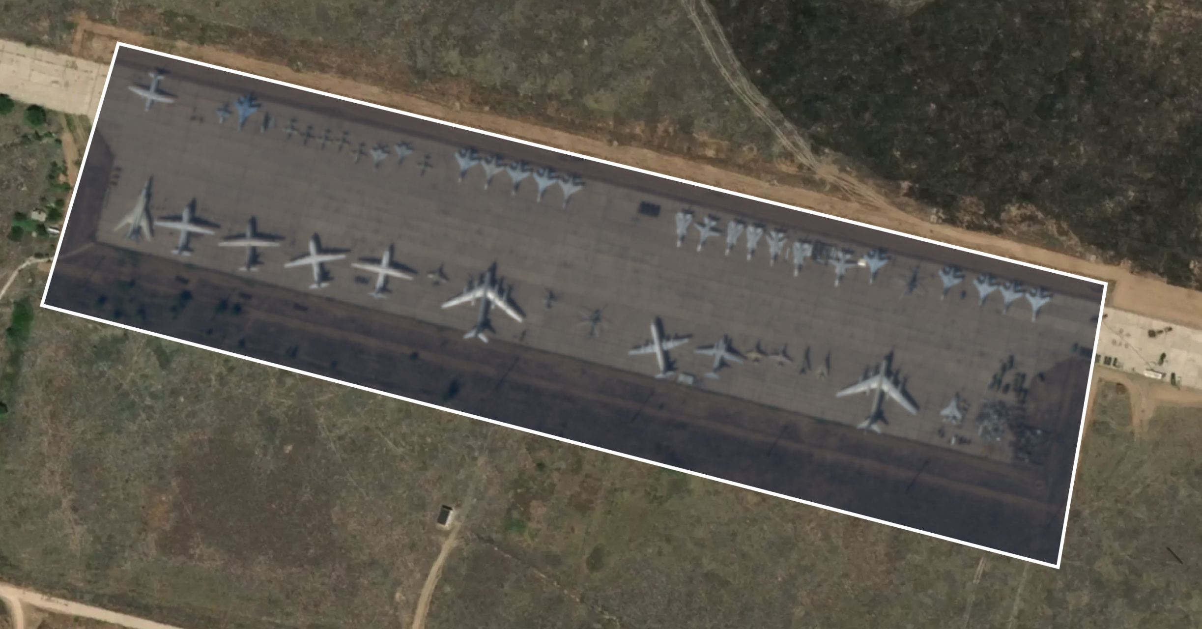
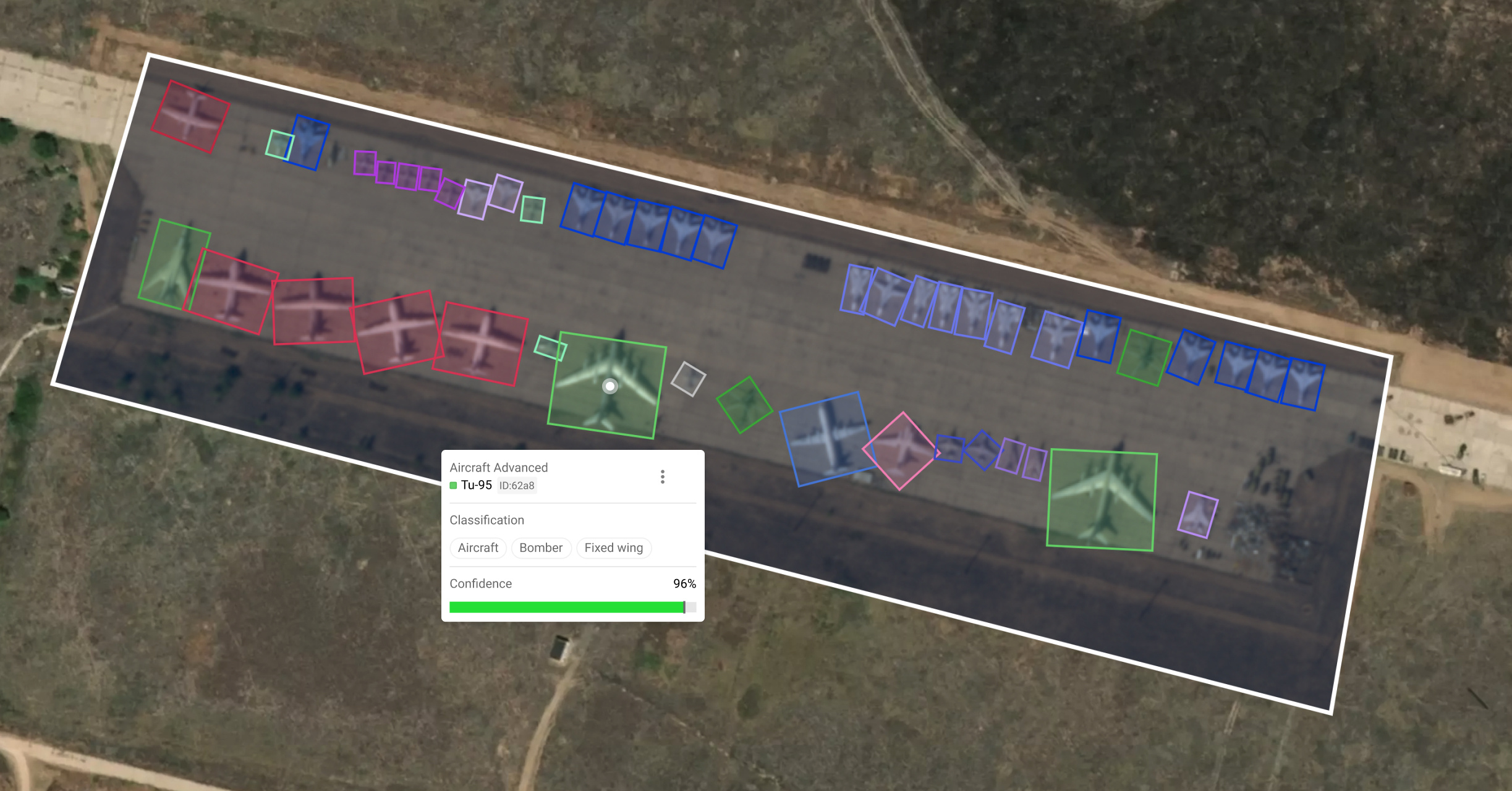
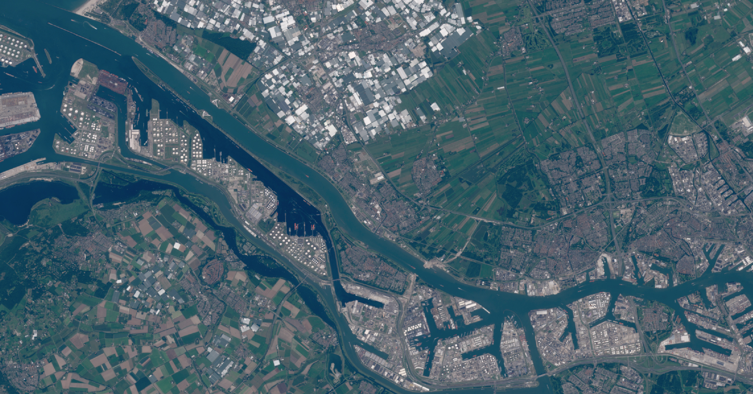
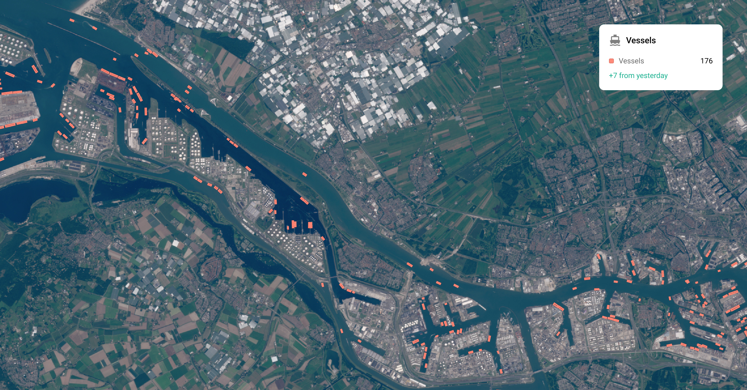
Your analysts stay in control.
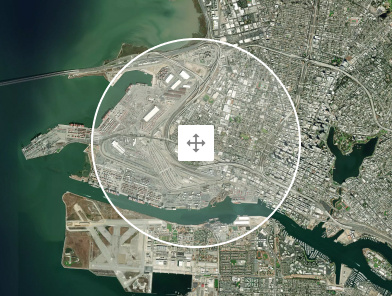
Tasking
Missing an image? Order new satellite imagery for a precise location and time window without leaving Guardian.
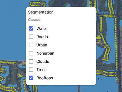
Algorithm controls
Choose which algorithms run on which area and tune them to the question you are answering.
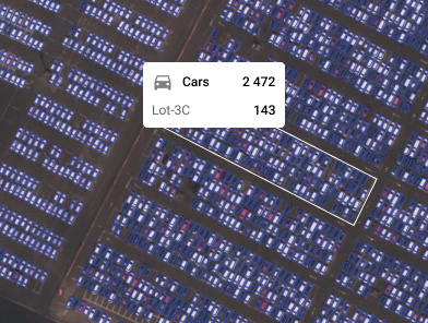
Filtered results
Filter and group results by object class and date.
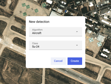
Annotate
Mark findings directly on the imagery and share them with your team inside the platform.
How does Guardian work?
Step 1
Select any area on Earth you want to monitor or investigate.
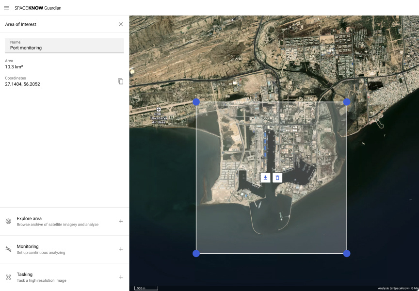
Step 2
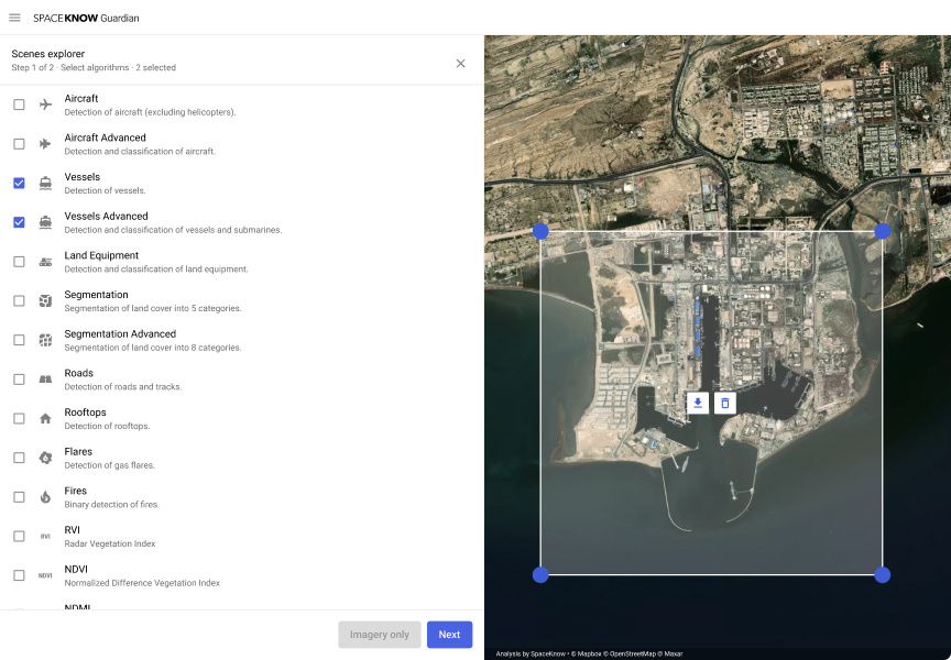
Choose the analysis: vessel, aircraft or land equipment detection, change detection or land segmentation.
Step 3
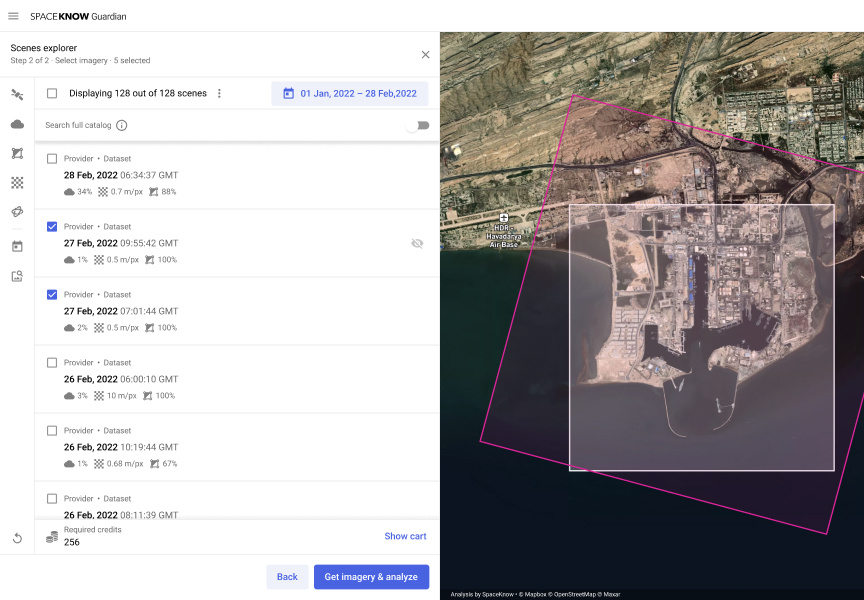
Pick the imagery: optical or radar, wide coverage or high resolution, from multiple providers.
Step 4
Guardian analyzes each image automatically and returns detections with coordinates and acquisition date.