In late October and early November 2026, China deployed a large number of naval vessels across the Western Pacific. This activity may have been part of an unannounced military exercise simulating the isolation of Taiwan.
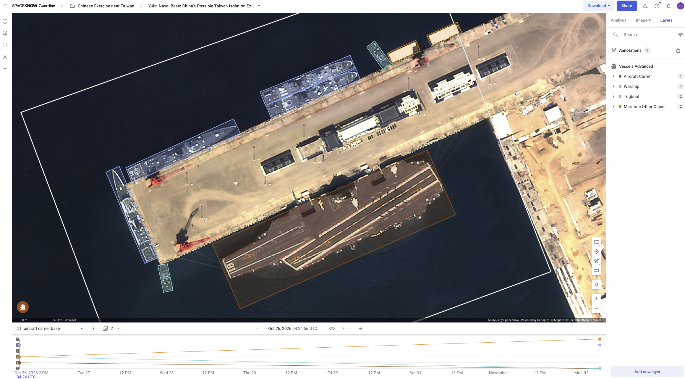
Using high-resolution and Sentinel-2 satellite imagery, SpaceKnow Guardian captured two observations of what is likely the Chinese aircraft carrier Fujian (CV-18) – first at Yulin Naval Base and later at sea.
Yulin Naval Base – Possible Aircraft Carrier Departure
On October 26, 2026, high-resolution satellite imagery captured an aircraft carrier, likely Fujian (CV-18), at Yulin Naval Base on Hainan Island. By November 2, the carrier was no longer at its previous location. Guardian also detected changes in the number of warships and submarines, suggesting possible departures or repositioning of military vessels.
Sentinel-2 – Aircraft Carrier Detected at Sea
On November 2, Sentinel-2 imagery captured a large vessel approximately 110 km southeast of Yulin Naval Base. Its location and reported movements suggest that it is likely the same aircraft carrier, Fujian (CV-18). Using SpaceKnow’s Vessel Detection algorithm and the Longer Detection Side filter, analysts narrowed 23 vessel detections down to a single large vessel.
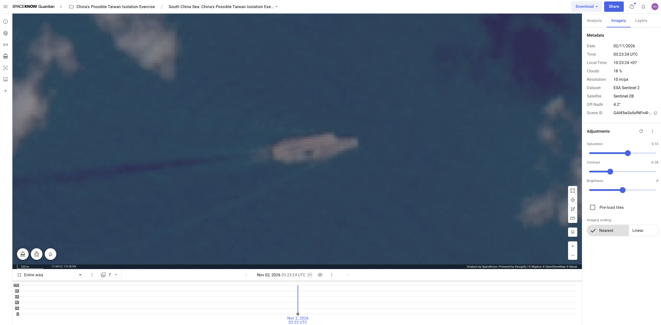
Together, these observations suggest that Fujian departed Yulin Naval Base and was later detected at sea during a period of increased Chinese naval activity.
The analyses demonstrate how combining different satellite resolutions and automated vessel detection helps analysts monitor naval movements, identify important events, and connect observations across different locations.
